Campus Maps and Directions
From San Francisco and San Jose
- Take US Route 101 South toward Prunedale
- At Prunedale, take CA Route 156 West to CA Route 1 South
- Proceed on CA Route 1 S to Monterey
- Take the "Del Monte Avenue" exit
- Follow the signs to Del Monte Avenue and turn left on Sloat Avenue
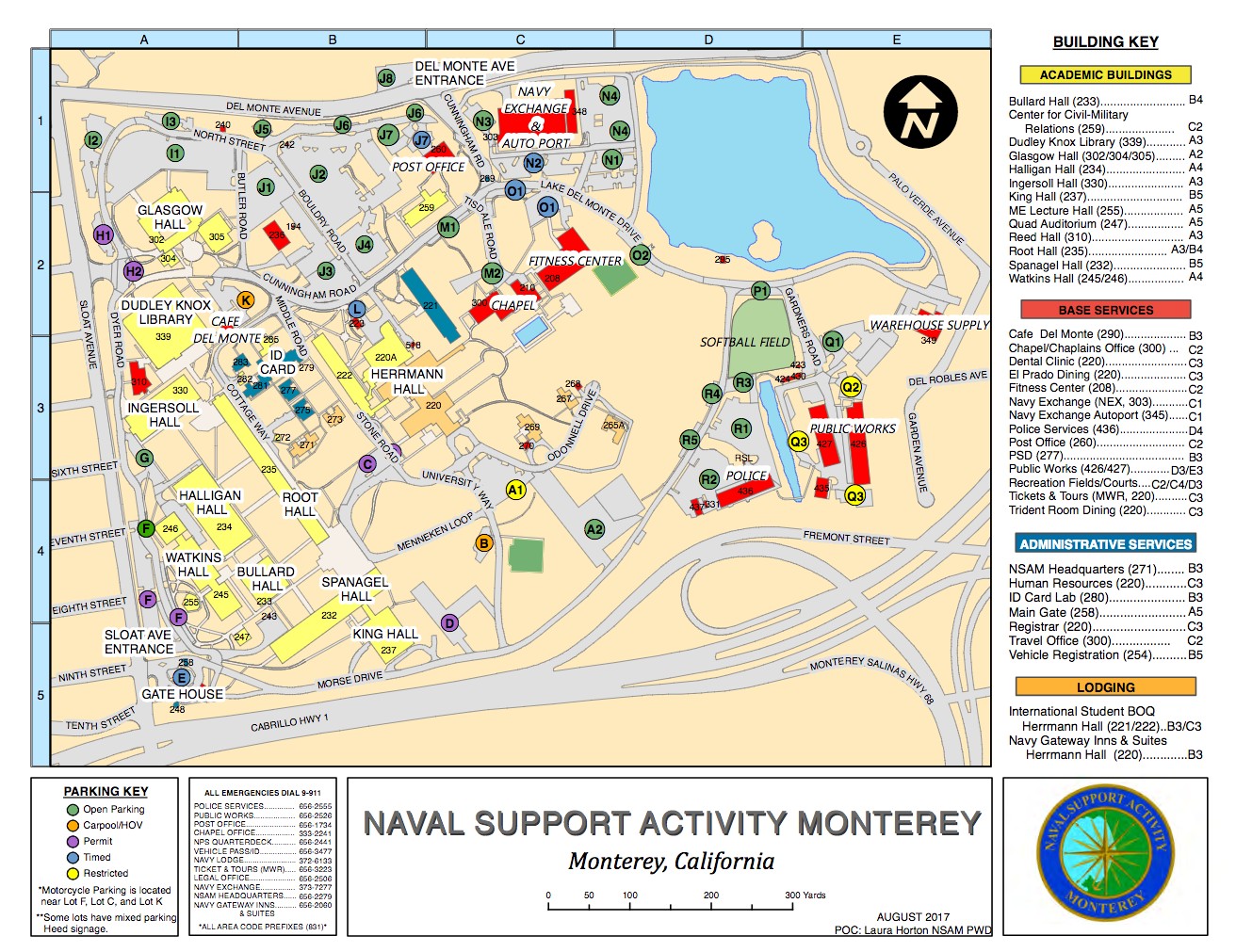
- Turn left at stop sign to enter the campus Main Gate, gate access information
From Los Angeles and San Diego
- Take US Hwy 5 North toward Sacramento
- At Lost Hills, take CA Route 46 West toward Paso Robles
- At Paso Robles, take US Route 101 North toward Salinas
- At Salinas, take CA Route 68 West to Monterey
- Stay left on 68 W to merge onto CA Route 1 South
- Take the first "Monterey" exit
- Stay left on the exit, turn left onto Aguajito Road
- After .5 miles turn left at Mark Thomas Drive
- Follow Mark Thomas Drive to Sloat Avenue
- Turn right at the stop sign to enter the campus Main Gate, gate access information
From Monterey Peninsula Airport
- The road leading out of the airport is Olmstead Road
- Follow Olmstead Road to Garden Road - first street on the right
- Turn right onto Garden Road
- Take Garden Road to 3-way traffic light; turn left onto Mark Thomas Drive
- Turn right onto Sloat Avenue at first traffic light
- Turn right at stop sign to enter the campus Main Gate, gate access information
Arriving By Air
Monterey is serviced by three major airlines with most flights connecting through San Francisco, Los Angeles, Denver, or Phoenix.
Taxis
Persons taking a taxi should direct the driver to take them to the "Main Gate at NPS".
Please note
Please make your own arrangements for transportation to and from airports.